Pappenheimer Preserve
Trail Information
Visitors should be aware that when in season, hunting is allowed in the adjacent Mohegan State Forest, and take suitable precautions. Hunting is not permitted on Pappenheimer Preserve.
Trail Map: Click here for the trail map. You will need Adobe Acrobat to view or print our trail maps.
Directions: GPS Coordinates: 41.659115, -72.085690 Note: parking is very limited on roadside. Trailhead is on east side of Route 97 between Murphy Hill Road and Waldo Road. Park on west shoulder of Route 97.
About the Property
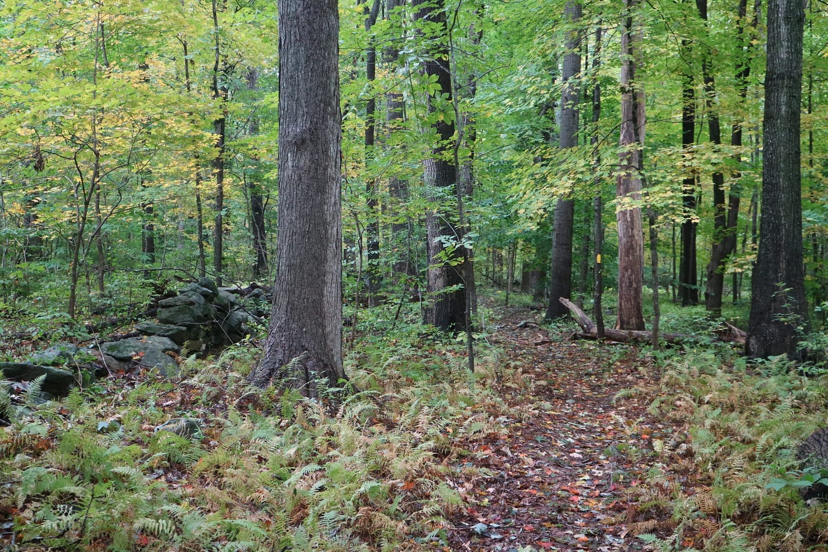
The Pappenheimer Preserve was donated to the Trust in 2005 by Sarah Pappenheimer and her brother John. The property consists of 101 acres of mostly level forest land and marsh, and is bounded to the north by an additional 700 acres of protected land, the Mohegan State Forest.
The property has belonged to the family for several generations and has been used for grazing and timber cutting, both of which may continue during the lifetimes of the donors.
Location: Scotland, Connecticut
Donors: Sarah and John Pappenheimer
Acreage: 101.87
Preserved in: 2005
Stewards: John and Jenna Aldrich