Warren Stone Preserve
Trail Information
Trail Map: Click here for the trailmap.
Directions: Please note that Fisk Road is not paved and is very rough. Cars with normal ground clearance will have a difficult time. Please use caution and discretion. Access from the east end of Fisk Road is less rugged than from west end. High-ground clearance vehicle advised. From the western end of Fisk Road it is possible to pull off at the Pete Freiman Park property and walk down Fisk Road. Trail is infrequently maintained.
About the Property
Location: Hampton, Connecticut
Donor: The Estate of Warren Stone
Acreage: 19
History
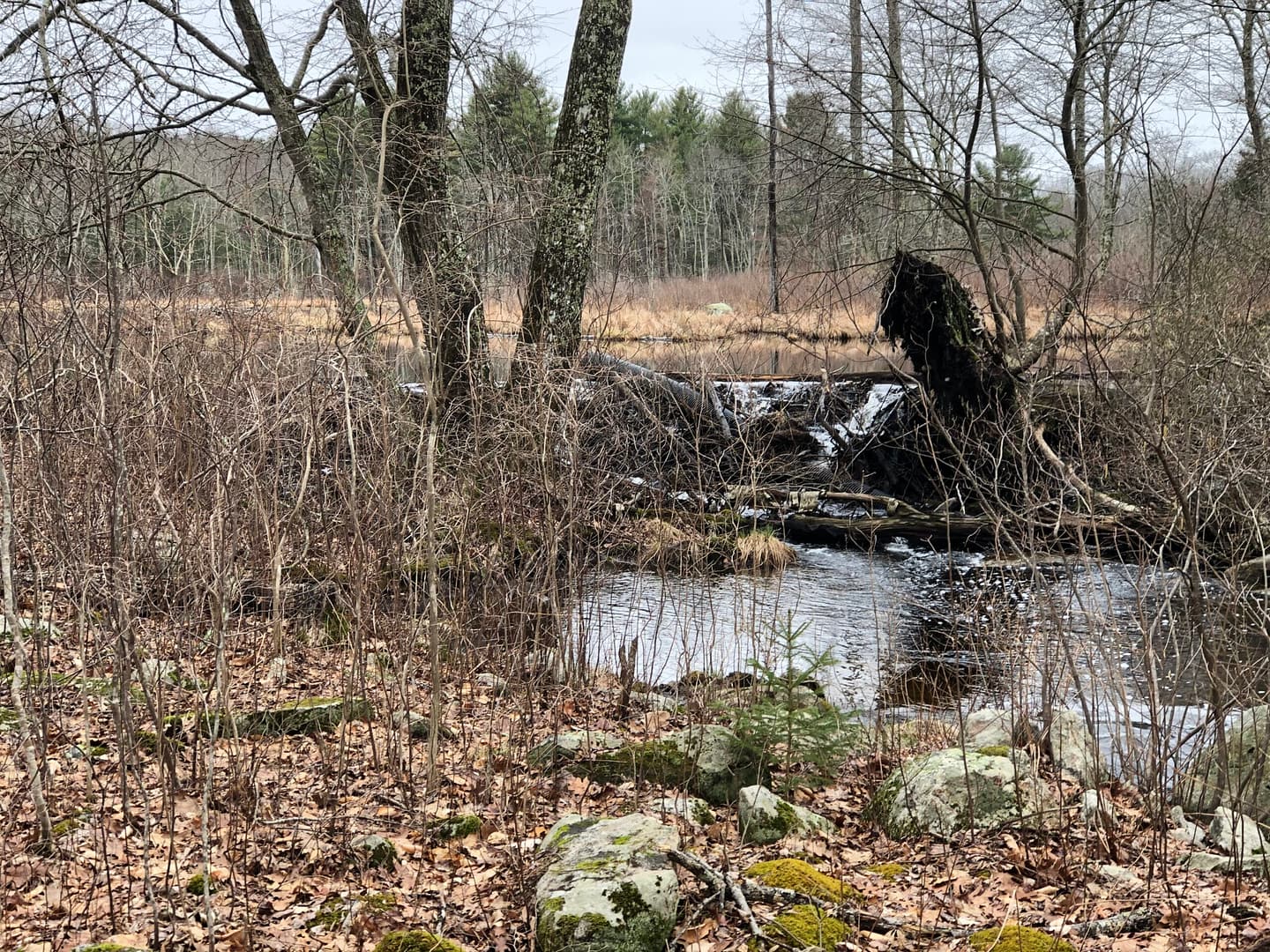
The Warren Stone Preserve forms an important part of a local watershed that is dominated by the Cedar Swamp Brook, a feeder to the Little River that feeds into the Shetucket River. To the north of Route 6 in Hampton, this brook rises as a wetland in the Goodwin State Forest, and it widens into a marsh to the south of Route 6 as a result of beaver damming.
From the western edge of the marsh, land slopes upwards to an old wooden road. The two acres between the marsh and the road are covered in an oak over-story and a witch hazel understory. Sweet pepperbush (Clethraalnifolia) and highbush blueberry can be found directly next to the marsh.
The southern portion of the marsh is dominated by phragmites and cattails. The rest of the marsh is clear and deep enough to attract osprey, while the shallow and shrubby edges host great blue heron, wood duck, and belted kingfisher. Black duck and painted turtles have also been spotted around the marsh.
East of the marsh lies an oak-beech forest. A knoll that runs north-south through the middle of the uplands is surrounded by a U-shaped path. Downy woodpecker, red-eyed vireo, and yellow-rumped warbler can be found among the hemlocks that lie between the wooded road and the marsh.
**NOTE** Rocks, large potholes and wet spots along West Fisk Road have limited vehicular access. We recommend 4-wheel-drive vehicles with good ground clearance. Visitors will see a sign marking the preserve entrance to the half-mile long U-shaped path. There is also a short spur path marked to view the beaver dam (picture above).