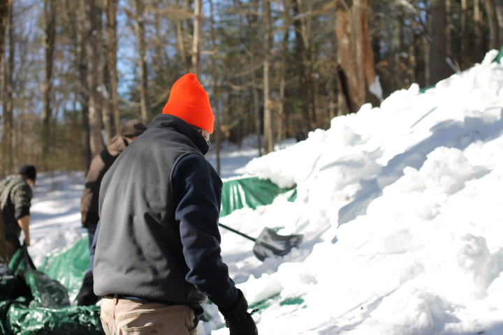
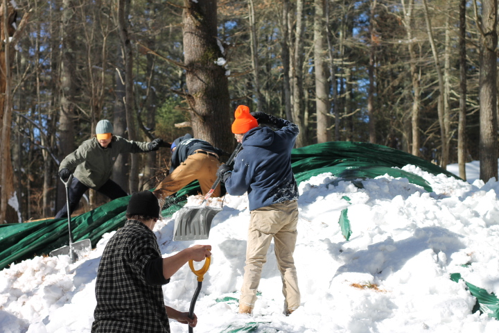
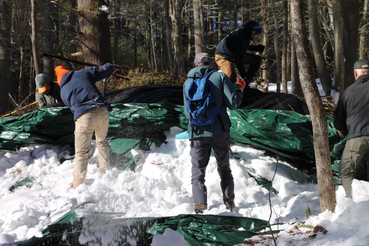
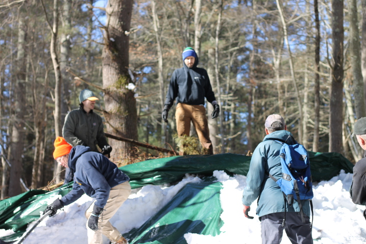
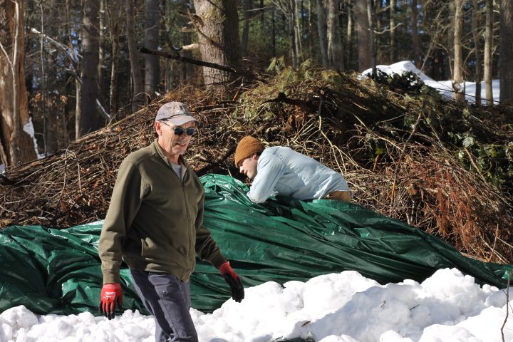
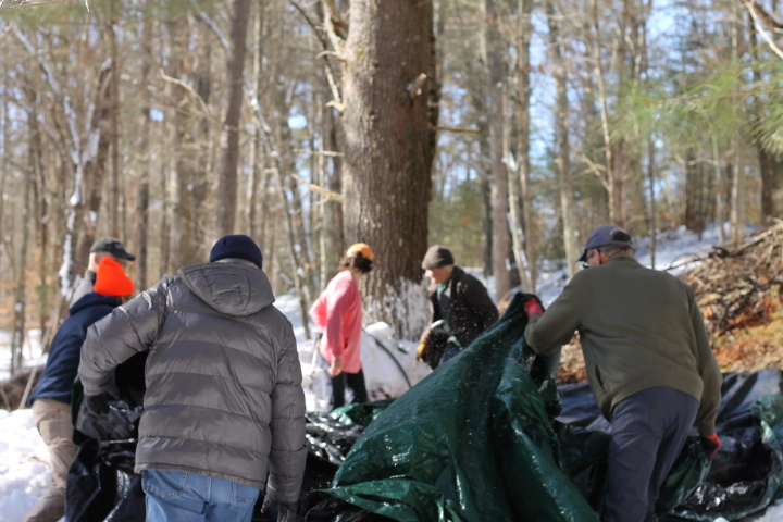

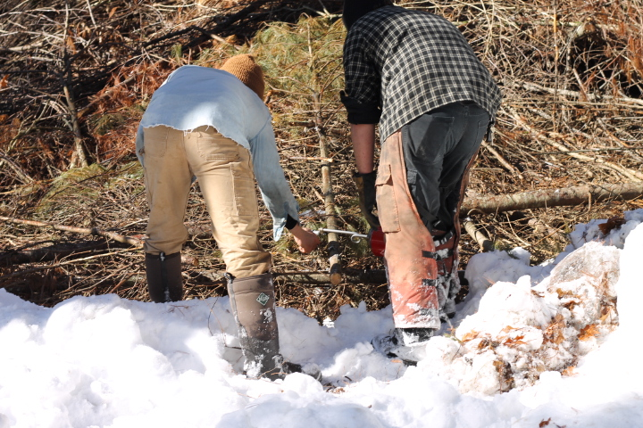
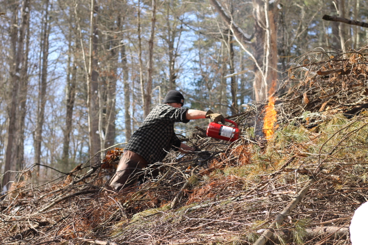
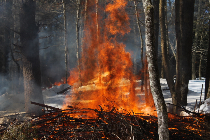
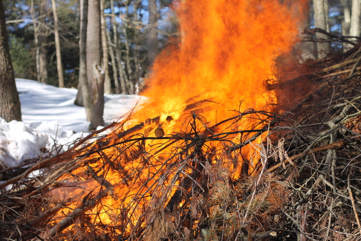
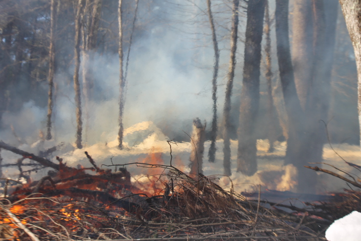
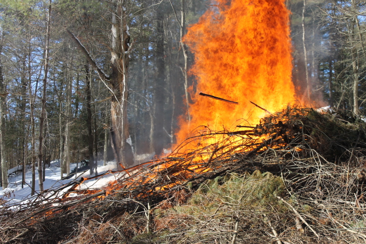
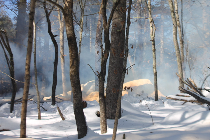
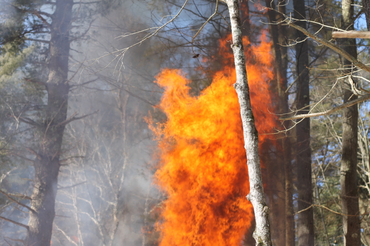
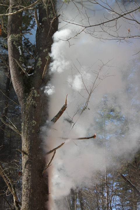
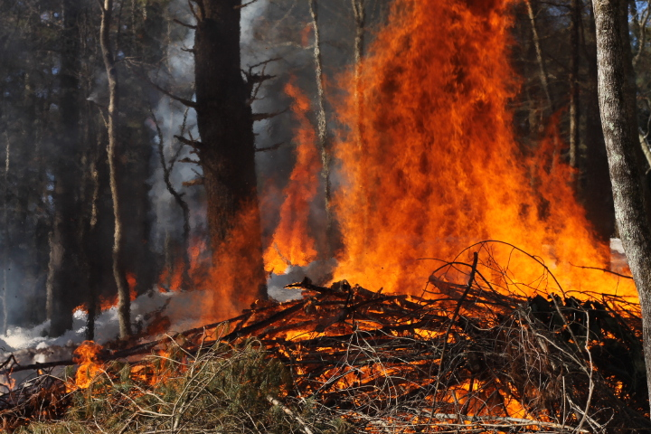
When I showed up at the Madeline Regan Preserve at 9:00am on a cold Friday morning with my camera in hand to document a much-anticipated prescribed burn, I shouldn't have been surprised to find a hard-working group of Joshua's Trust volunteers removing a generous seasons' worth of snowfall off a brush pile covered the largest tarp I've ever seen. This was the third tarp they'd uncovered in the past two days. You don't need to know much about fire to know that dry fuel is quick-burning fuel. Underneath each tarp was a pile of brush which had been cleared, piled, and tucked-in last year. No surprise–the uncovered piles were dry, the fire started easily, and ended quickly. But why burn the piles in the first place?
As part of a grant received through Climate-Smart Land Stewardship Grant Program from the Connecticut Land Conservation Council (CLCC), Joshua’s Trust has undertaken a restoration project at the Madeline Regan Preserve in Tolland. The project is focused on regenerating pitch pine & oak, removing invasive species, and increasing biodiversity in parts of this preserve which are currently dominated by white pine. Restoring habitats for pitch pine–a species well-adapted to warmer and drier environments–will make this site more resilient to disturbances from climate change and less-susceptible to the Southern Pine Beetle.

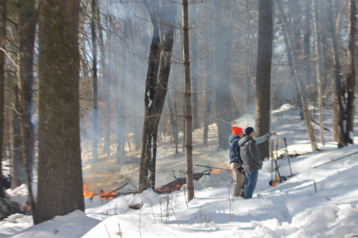

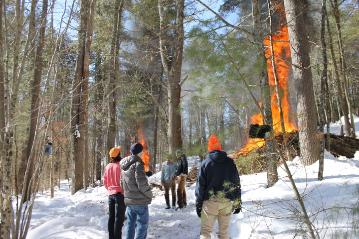
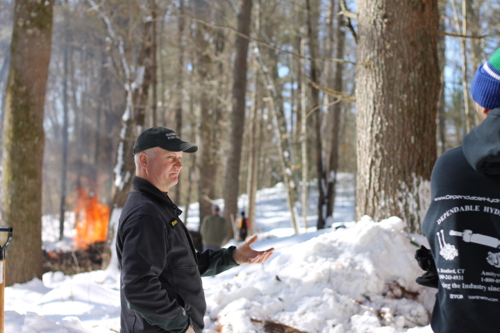
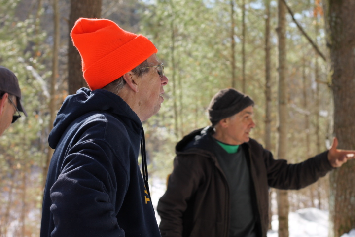
Thank you to the Tolland Fire Department, our staff, board members, and volunteers who ensured the safety and success of this burn.
More About Madeline Regan Preserve
This 29-acre parcel was donated to Joshua’s Trust in 2020 by Joseph Regan. His sister Madeline had originally envisioned conservation of this land and donated a conservation easement to the Trust in 2008. She died before an outright transfer was made, but Joe ultimately fulfilled her legacy with a 2020 bargain sale to the Trust.
The most intriguing feature of this property is a well-defined 2000-foot section of the Old Connecticut Path, which runs the length of the property and originates near the sole public access to the property on Route 74. The Connecticut Path is thought to have originally been used as an east-west trade route by the Native Americans that inhabited this area. In the early 1630s, Thomas Hooker and a group of European settlers reportedly took this route as they migrated overland from the Massachusetts Bay Colony to the rich soils of the Connecticut River Valley in the Windsor area. The route of the Connecticut Path is evident as a “sunken road” that winds through northern Connecticut. In this area it follows a route generally parallel and in proximity to Route 74. The yellow-blazed trail on the property follows the approximate route of the Connecticut Path route as defined by the topography. In addition to the Connecticut Path, visitors can enjoy two additional short trails. The “esker trail” climbs steeply off of the route of the Connecticut Path to a higher area of the property dominated by a glacial esker, which is a linear gravel deposit laid down by fast-moving glacial meltwater, and a kettle hole, formed when a large block of glacial ice buried in the gravel melted and left a void. A loop trail is also available off the Connecticut Path for visitors that want to circumnavigate the entire property.
