New Ridgetop Trails at the Madeline Regan Preserve (Tolland) and Chenes Roche (Willington)
With some help from the summer work crew from Eastconn, Joshua’s Trust installed two new ridge-top trails this summer that are worth a peek:
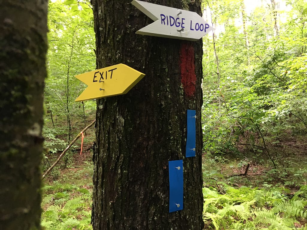
Chenes Roche – A key feature of our Chenes Roche Preserve in Willington is a 100 to 200-foot high north-south trending bedrock ridge that separates the central valley of the property from the Willimantic River to the west. Until earlier this summer, the ridge had been all but inaccessible due to steep slopes on both sides and a nearly impenetrable forest of mountain laurel at the top. But where there’s a will there’s a way, and during the spring we mapped out a switch back route to the ridge top that then continued through the mountain laurel forest at the top. With assistance from an enthusiastic work party from EASTCONN as well as our own volunteers, our team worked for the better part of a week to find a way through the thick ridge-top undergrowth. The half-mile trail traverses both sides of the ridge with occasional views down to the Willimantic River to the west and back into the dark central valley in the interior of our property to the east. The twists and turns through the tangled mountain laurel add an adventurous Dr. Seussian feel to the hike and provide an exciting and adventurous complement to the more tranquil trek along the gurgling brook that can be accessed via the red trail. To reach the ridge top trail, follow the yellow and red trails to the bottom of the valley and then look for signs to the blue-blazed “Ridge Top Trail” near the bridge over the central stream. Chenes Roche can be reached by traveling north from Storrs on Route 195, then turning right on Route 32, continuing under I-84. Once under I-84, take the second right onto Schofield Road and then after about a mile turn left onto Blair Road. After Blair Road takes a sharp right, go a couple hundred yards and look for the sign for the Chenes Roche parking lot set back off the road in a small parking area on the left.
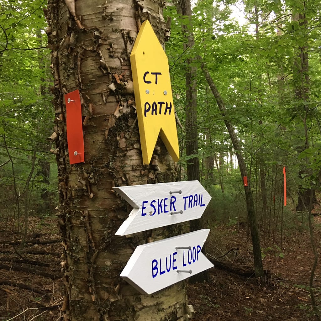
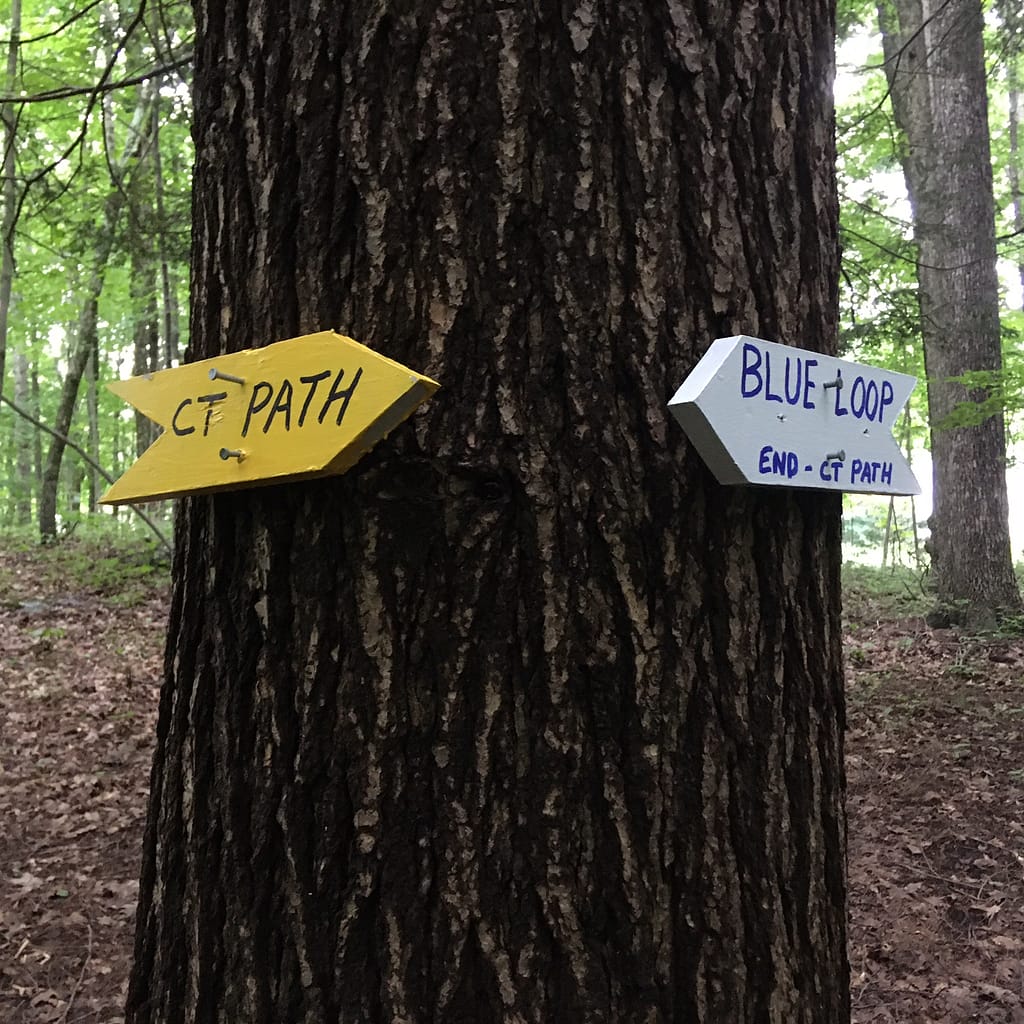
Madeline Regan Preserve – The key feature of this new preserve on Route 74 in Tolland is a half-mile section of the Connecticut Path, which originally served as an Native American trade route and was later used by Thomas Hooker and other European settlers as they moved from the Massachusetts Bay Colony into the rich farmlands of Central Connecticut in the early 1630s (Google it!). Even before Joshua’s Trust had acquired the property, we had cleared the route of the Connecticut Path with permission from the landowner. We returned to the site this summer with a work party from EASTCONN and completed a trail network that now includes two new loops – an upper loop through a wooded section of the property and a ridge-top trail that runs along a glacial esker ridge that parallels the Connecticut Path. From the top of the ridge you can look down 70 or 80 vertical feet into what looks to be a glacial kettle hole, a closed depression (and vernal pool) that likely resulted from the melting of a large block of glacial ice at the end of the last ice age about 10,000 years ago. The entire trail system can be negotiated as a figure eight loop by first traversing the Connecticut Path (yellow blazes), then continuing onto the loop trail (red blazes) and finally onto the esker trail (blue blazes). Signs have been installed at the key intersection where the trails come together and we hope to be building bridges in the near future where two of the trails cross small streams. To reach the Madeline Regan Preserve from the south head up Route 195 from Storrs, turn left on Route 74 West, crossing I-84 and going past the State Police Barracks. Look for Evergreen Drive on your left, then go about half a mile further – the entrance to Madeline Regan Preserve is marked with a bold Joshua’s Trust sign on the left side of the road.
~John Hankins


